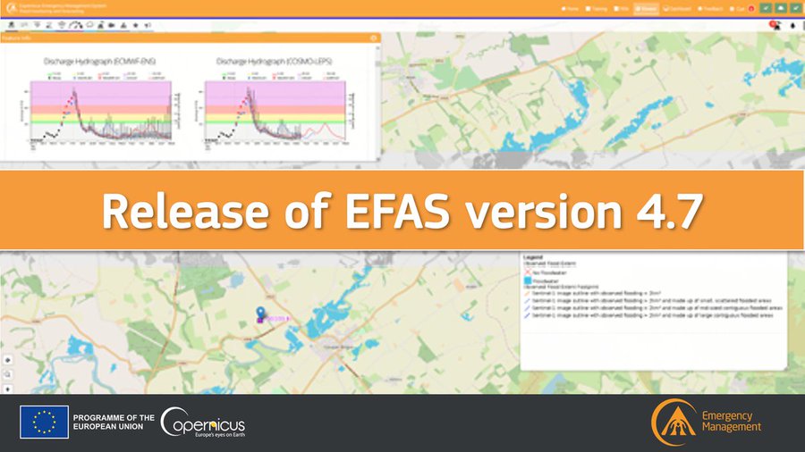
The latest version of the ???????????????????????????????? ???????????????????? ???????????????????????????????????? ????????????????????????, ???????????????? ????????.????, is released operationally ????????????????????, ???????????????????????? ???????? ???????????????????????????????? ????????????????.
This release will enable the visualisation of the new Global Flood Monitoring (GFM) products in the CEMS EFAS map viewer. The GFM provides continuous monitoring of floods worldwide, by automatically processing and analysing in near real-time all incoming Synthetic Aperture Radar imagery acquired by the EU’s Copernicus Sentinel-1 satellites.
Read more: ➡️ https://www.efas.eu/en/news/release-new-efas-version-47


