Our data offer
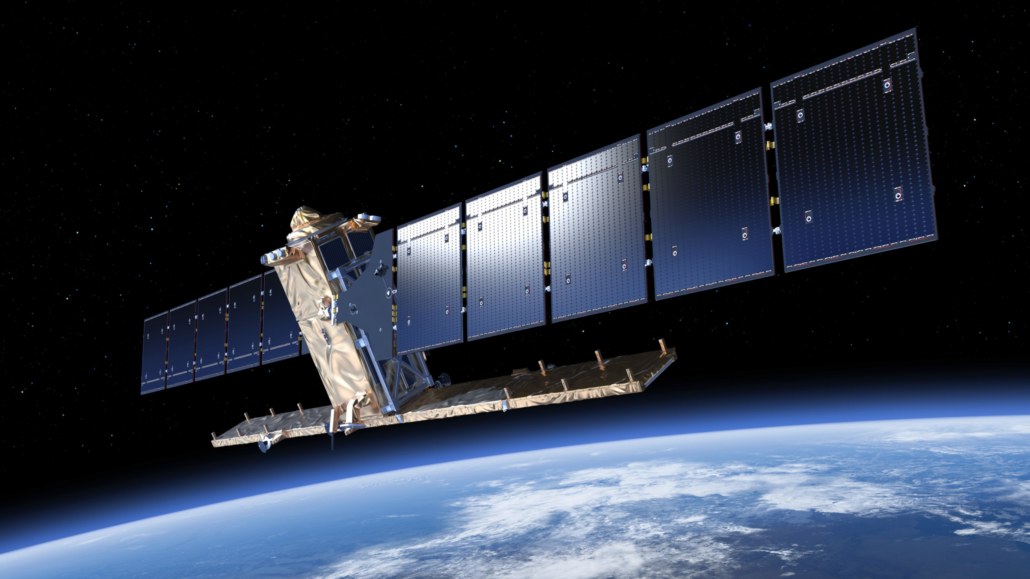
Sentinel-1
Sentinel-1 is an imaging radar mission providing continuous all-weather, day-and-night imagery at C-band. It provides high reliability, improved revisit time, geographical coverage and rapid data dissemination to support operational applications in the priority areas of marine monitoring, land monitoring and emergency services.
Our repository includes:
- Sentinel-1A+B L1C GRD HR IW & EW
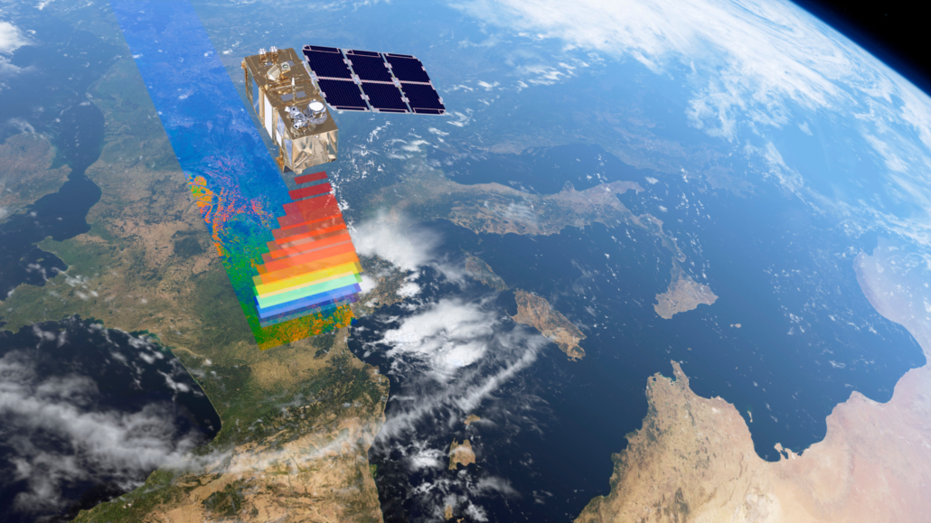
Sentinel-2
Sentinel-2 is a wide-swath, high-resolution, multi-spectral imaging mission, with a constellation of two polar-orbiting satellites with a 5-days revisiting time. The mission supports Copernicus Land Monitoring studies, including the monitoring of vegetation, soil and water cover, as well as observation of inland waterways and coastal areas.
Our repository includes:
- Sentinel-2A+B L1C
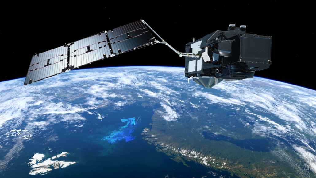
Sentinel-3
Sentinel-3 is a multi-instrument mission to measure sea-surface topography, sea and land surface temperature, ocean and land colour. It provides ocean measurement capability with consistent quality, high availability, accuracy and reliability, developed to support GMES ocean, land, atmospheric, emergency, security and cryospheric applications.
Our repository includes:
- Sentinel-3 L1C OLCI EFR & ERR
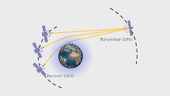
Wegener Center GNSS Radio Occultation Record
The Wegener Center GNSS radio occultation record, OPSv5.6, provides globally distributed upper-air satellite data of high quality from multiple Radio Occultation satellite missions, usable for climate and other high-accuracy applications.
Anything missing?
We are driven by our partners and we listen to our customers. Let us know if you have any special requests for EO data.
Tell us what you need and we will do our best to provide the data you requested.


